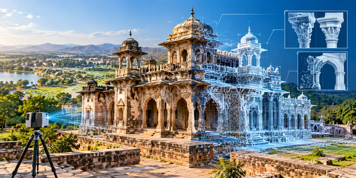
The Assignment
Heritage sites require accurate documentation to support conservation, restoration and long-term management. Urbanisation and continuing infrastructure development can place additional pressure on these historically and culturally significant assets, making it important to understand both the heritage structure itself and changes occurring in its surrounding environment.
The assignment involved applying geospatial data capture, mapping and digital modelling to create comprehensive documentation of heritage assets and their surroundings, supporting assessment, conservation and restoration planning.
Our Approach
CS TECH Ai combined geospatial data acquisition and processing with digital modelling to create detailed spatial documentation of heritage assets and their surrounding environment.
The engagement included:
- Geospatial data acquisition and processing for heritage documentation
- Digital mapping and modelling of heritage assets
- Documentation of existing site conditions
- Risk analysis to support conservation planning
- Change detection to assess changes affecting heritage sites
- Assessment of urbanisation and development around heritage assets
- Digital reconstruction of damaged areas to support restoration planning
- Mapping of surrounding land-based features, including connectivity, habitation and hydrology
- Documentation of important landmarks and contextual features around the heritage site
- Development of a structured geospatial repository to support conservation and future reference
Digital reconstruction could also be used to support assessment of the time, resources and costs required for repair and renovation.