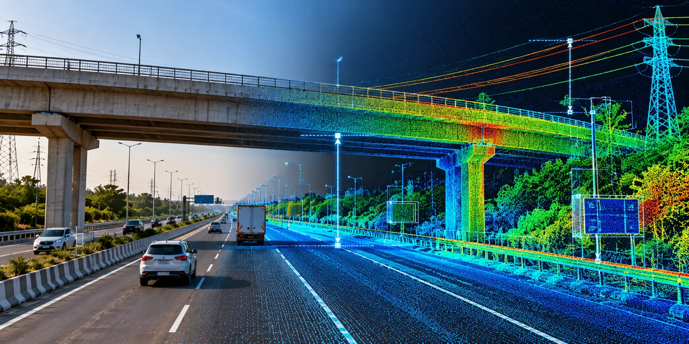
The Assignment
The assignment involved the use of Mobile LiDAR data to capture and analyse transportation corridors and surrounding infrastructure assets with a high level of spatial detail.
The objective was to create accurate 3D information for roadway and roadside asset mapping while enabling engineering analysis of critical clearances, terrain, slopes and infrastructure interactions along the corridor.
Our Approach
CS TECH Ai used Mobile LiDAR-based data capture and point-cloud processing to create a detailed three-dimensional representation of the transportation corridor and associated infrastructure.
The engagement covered:
- Mobile LiDAR-based mapping of road corridors and surrounding infrastructure
- Generation and processing of high-density 3D point-cloud data
- Mapping and extraction of roadside assets
- Measurement and analysis of bridge and overhead clearances
- Assessment of overbridge clearance from the roadway
- Analysis of clearances around metro overpasses and associated infrastructure
- Identification and measurement of transmission-line clearances
- Mapping of roadside electric poles and other utility assets
- Terrain and slope analysis using LiDAR-derived information
- Surface-water flow analysis along the corridor
- Creation of accurate measurements and spatial information to support engineering assessment
The resulting point-cloud environment enabled infrastructure and clearances to be assessed directly within an accurate 3D representation of existing site conditions.