The Assignment
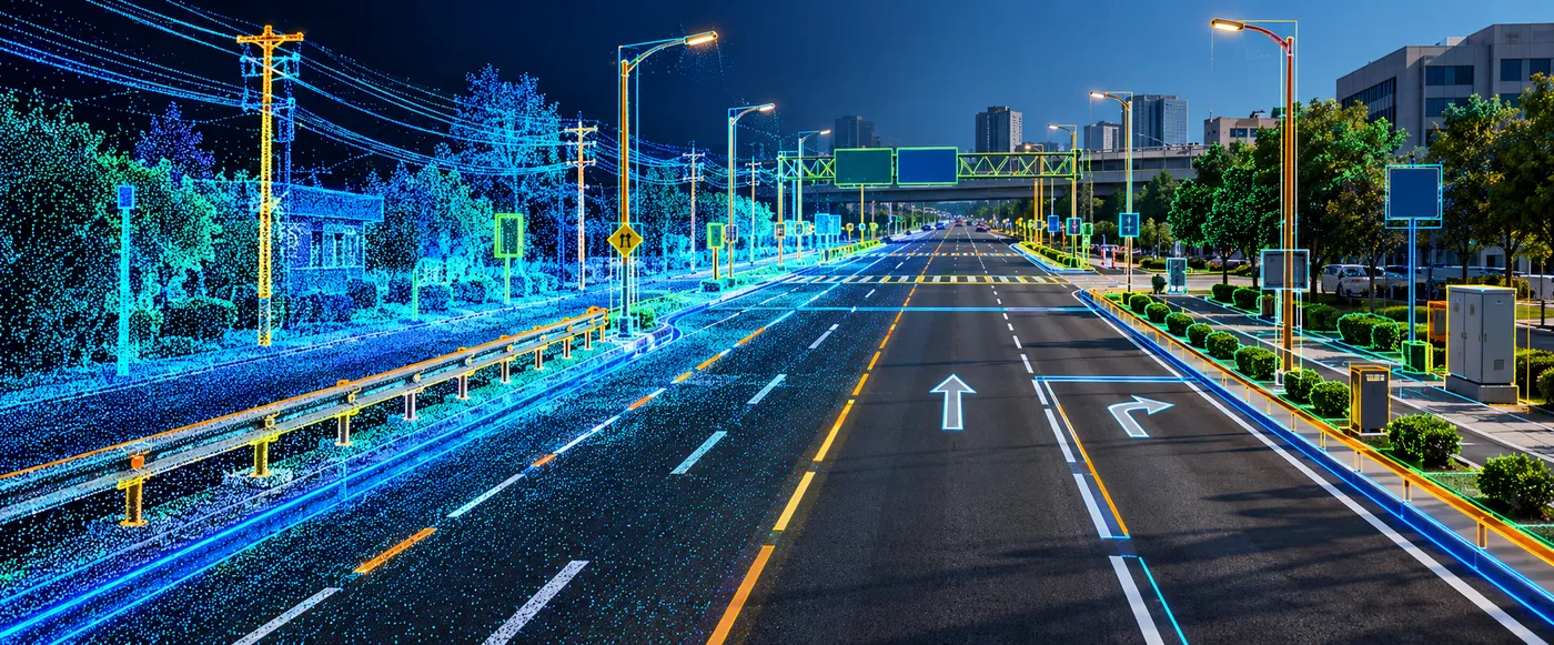
Large road networks generate substantial volumes of LiDAR, imagery and point-cloud data containing valuable information about roadside infrastructure. Converting this raw data into structured GIS information requires individual assets to be identified, attributed and made available for downstream mapping and asset-management workflows.
CS TECH Ai deployed its RealityMesh.Ai platform to support large-scale roadside GIS asset extraction and attribution. The programme covered 11,450 miles of roadway and 48 attribution types, demonstrating the ability to process road-corridor information at significant scale.
Our Approach
The workflow combines point-cloud and image processing with manual and AI-driven feature extraction to convert registered scan data into structured, GIS-compatible information.
The engagement included:
- Processing of registered scan and point-cloud data
- Visualization of 3D point clouds and panoramic imagery
- Manual and AI-driven roadside feature extraction
- Identification of roadside point features
- Capture of asset location and dimensions
- Point and line attribution
- Creation and management of user-defined GIS layers
- Intensity-based line extraction
- Curb and gutter-line extraction
- Road-marking and symbol extraction
- Image linking and map integration
- QA/QC of extracted information
- Export of information into GIS-compatible formats
RealityMesh.Ai supports integration with GIS environments including ArcGIS and QGIS, allowing extracted information to move into established geospatial workflows.
Project Scale
- 11,450 miles of attribution completed
- 48 attribution types covered
These figures come directly from a completed project dashboard documented within the RealityMesh.Ai programme.
AI-Enabled Feature Extraction
AI-driven automation forms an important part of the processing workflow.
The platform supports automatic identification of roadside point features, including their location and dimensions, while additional automated workflows support extraction of linear and surface-related information.
Capabilities demonstrated within the RealityMesh.Ai environment include:
- AI-based asset detection
- Intensity-based automatic extraction
- Automatic curb and gutter extraction
- Automatic powerline extraction
- Road-marking and symbol extraction
- OCR-supported asset detection
- Image linking
- Automated labelling
- QA/QC tools
The underlying AI model demonstrated in the source material supports 15+ object types across imagery and LiDAR-based workflows.
From Raw Scan Data to GIS-Ready Information
The processing workflow can be represented as:
Registered Scan Data → Processing & Visualization → Manual / AI Feature Extraction → Attribution → QA/QC → GIS-Compatible Outputs
The platform is designed to manage point-cloud and image information within collaborative project environments, with work allocation, layer management, measurements, labelling and feature creation brought together within the same workflow.