The Assignment
A large-scale government mapping programme required high-resolution satellite imagery to establish a consistent spatial-data foundation for statewide mapping and land-administration applications.
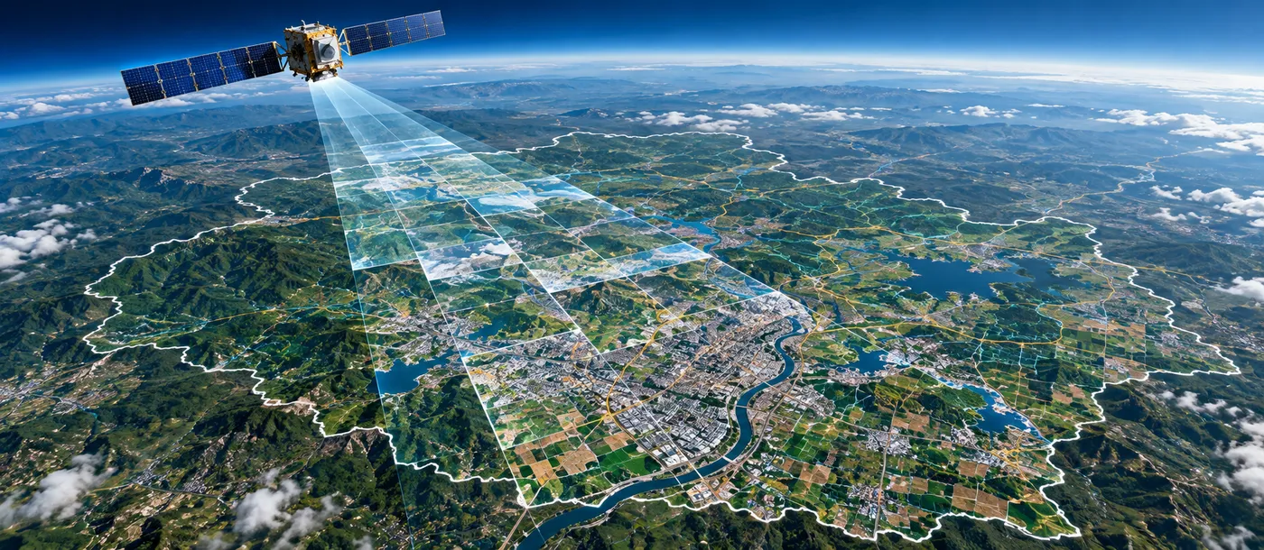
The assignment involved acquiring 50 cm resolution satellite imagery across approximately 307,713 sq. km, creating comprehensive coverage of a very large geographic area and providing the base geospatial information required for subsequent mapping and GIS activities.
Our Approach
CS TECH Ai supported the programme through large-scale acquisition and management of high-resolution satellite imagery.
The engagement included:
- Acquisition of 50 cm high-resolution satellite imagery
- Coverage across approximately 307,713 sq. km
- Planning imagery requirements for large-area geographic coverage
- Management of satellite imagery for statewide mapping requirements
- Preparation of spatial information for subsequent geospatial processing and GIS use
- Establishment of a consistent imagery foundation for land and administrative mapping
The programme brought together large-volume satellite data acquisition with CS TECH Ai's geospatial data-processing capabilities to create a dependable spatial-data foundation for government applications.
Project Scale
- 50 cm satellite imagery
- 307,713 sq. km geographic coverage
- Statewide data-acquisition programme
- Government mapping and land-administration application
Geospatial Data Foundation
High-resolution imagery provides the underlying visual and spatial reference required for a range of downstream geospatial activities.
The acquired dataset established a common base for:
- Statewide mapping
- Land-information applications
- Administrative mapping
- GIS database development
- Spatial planning and analysis
- Subsequent geospatial data creation and updating