The Assignment
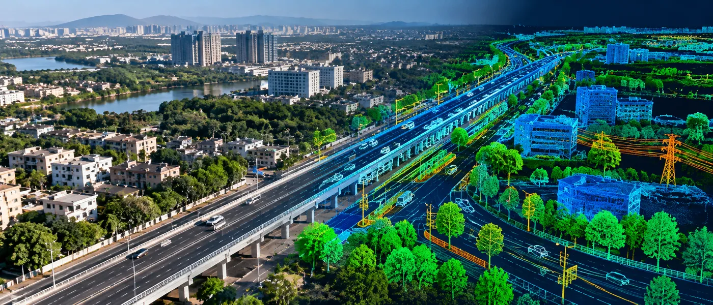
Large volumes of imagery and 3D point-cloud data contain valuable information about infrastructure, assets and the surrounding environment. Extracting these features manually, however, can require substantial interpretation and processing effort.
CS TECH Ai developed AI-driven workflows to automate the identification, classification and extraction of geospatial features from multiple data sources, including street-view imagery, drone and satellite imagery, and 3D LiDAR data. The objective was to convert complex visual and point-cloud datasets into structured information that could support mapping and downstream GIS workflows.
Our Approach
The solution applies AI-driven object detection and feature-extraction workflows across imagery and point-cloud datasets. The platform supports automatic identification of point features, including the location and dimensions of roadside assets, while combining automated extraction with visualization, attribution and GIS workflows. Home Page
Depending on the source data and feature type, the workflow can support:
- Object detection from street-view imagery
- Feature identification from drone and satellite imagery
- Feature extraction and classification from 3D LiDAR
- Automatic identification of roadside point features
- Intensity-based line extraction
- Curb and gutter-line extraction
- Road-marking and symbol extraction
- Visualization and review of point-cloud and image data
The underlying AI model demonstrated in the source material supports 15+ different object types.
Technology & Delivery
The workflow brings together AI/ML, imagery processing, LiDAR/point-cloud processing and GIS within a common geospatial environment.
RealityMesh.Ai supports 3D point-cloud and image visualization, map integration, feature creation and attribution, measurements and labelling, and manual as well as AI-driven feature extraction. Extracted information can subsequently be used in GIS-compatible workflows.
This provides a structured path from raw imagery and point-cloud information to usable geospatial features:
Input Data → Processing & Visualization → AI-Driven Feature Extraction → Review & Attribution → GIS-Ready Information