


Who We Are
CS TECH Ai Geospatial Americas specializes in high-accuracy, high-scale geospatial services for telecom, utilities, retail, and public sector programs in North America. Our team delivers site data, spatial intelligence, and engineering-ready models that streamline infrastructure deployment and asset management.

Industries We Serve
Explore how we support rollout and modernization across key sectors.
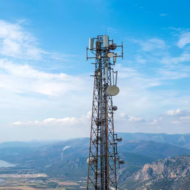

Utilities & Energy
Substation modeling, pole and corridor mapping, vegetation clearance planning.
Explore
Retail & Real Estate
3D site scans, as-builts, and BIM-ready models for distributed commercial networks.
Explore
Public Infrastructure
Broadband program support, transport corridor mapping, and parcel intelligence.
ExploreWhat We Do
Our integrated services support the full geospatial workflow, from capture to delivery.