Geospatial Data & Intelligence for Utility Asset Visibility and Network Planning
From pole and substation mapping to vegetation management support and outage planning – we help utility providers and energy operators modernize their infrastructure with high-accuracy spatial data and digital asset models.
Who We Serve

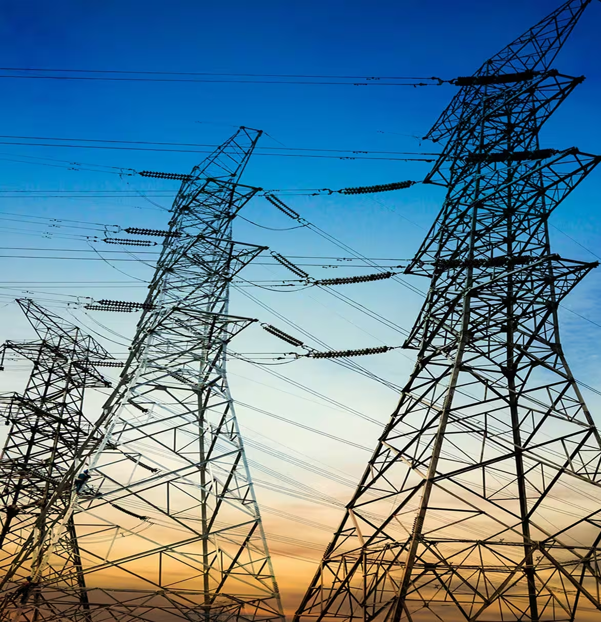
Electric Utilities & T&D Operators
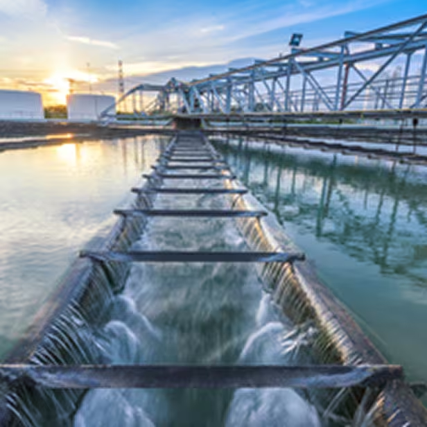
Water & Wastewater Departments

Gas Distribution & Pipeline Networks

Renewable Energy Providers

Engineering & Infrastructure Consultants
Electric Utilities & T&D Operators
Water & Wastewater Departments
Gas Distribution & Pipeline Networks
Renewable Energy Providers
Engineering & Infrastructure Consultants
What We Offer

Pole & Asset Mapping
Survey-grade data capture and location intelligence for poles, transformers, switches, and streetlights.

Vegetation Management Support
LiDAR-based clearance analysis and spatial planning to reduce risks and support grid resilience programs.
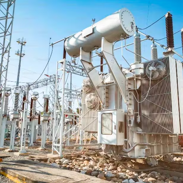
Substation & Infrastructure Modeling
3D modeling and digital twins for substations, shelters, and Switching stations for maintenance and upgrade planning.
Utility Corridor & Right-of-Way Mapping
Aerial and mobile mapping to define, document, and manage access corridors for new and existing infrastructure.

Outage Planning & Emergency Support
Rapid assessment and documentation of network segments to support damage response and restoration efforts.
Pole & Asset Mapping
Survey-grade data capture and location intelligence for poles, transformers, switches, and streetlights.
Vegetation Management Support
LiDAR-based clearance analysis and spatial planning to reduce risks and support grid resilience programs.
Substation & Infrastructure Modeling
3D modeling and digital twins for substations, shelters, and Switching stations for maintenance and upgrade planning.
Utility Corridor & Right-of-Way Mapping
Aerial and mobile mapping to define, document, and manage access corridors for new and existing infrastructure.
Outage Planning & Emergency Support
Rapid assessment and documentation of network segments to support damage response and restoration efforts.
How We Deliver
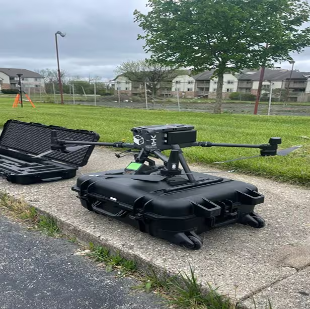
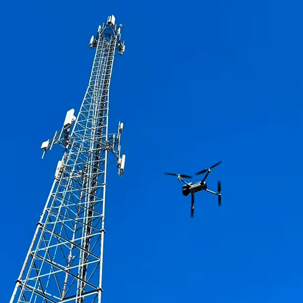
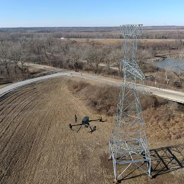
Step 1: Capture
Field data collection using drones, LiDAR, and mobile mapping technologies.
Step 2: Process & Analyze
Transforming geospatial data into digital models, clearance assessments, and network maps.

Step 3: Deliver
Actionable outputs including GIS layers, 3D models, clearance reports, and asset registries.