Transform Spatial Data into Operational Intelligence
We apply geospatial analytics, AI/ML, and spatial data modelling to help infrastructure teams extract value, identify risk, and make more informed decisions across telecom, utilities, and public asset networks.

What We Deliver
Feature extraction from LiDAR and imagery datasets
Vegetation clearance and encroachment analysis
Coverage mapping for broadband and telecom assets
Change detection and spatial pattern recognition
Geospatial dashboards and reporting layers
Capabilities
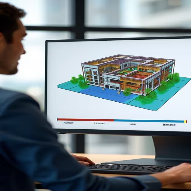
AI/ML-Powered Classification
Automated identification of poles, towers, vegetation, equipment, and structures.

Clearance & Risk Modeling
Calculate safe distances, identify potential hazards, and support maintenance planning.

Spatial Intelligence Dashboards
Custom WebGIS-ready visualizations for planners, field teams, and operations managers.

Geospatial Data Normalization
Cleaning, standardizing, and structuring raw data into usable geodatabases.
Industries Served
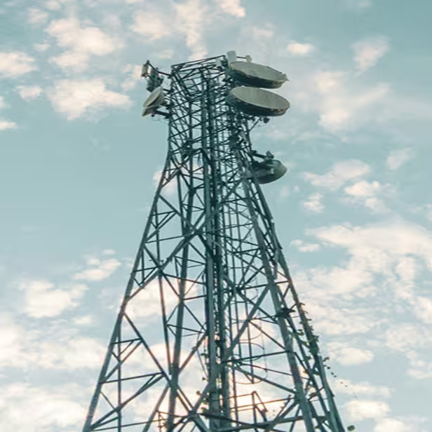
Telecom & Fiber
Tower object detection, fiber coverage validation.

Utilities & Energy
Vegetation encroachment, outage risk modeling.
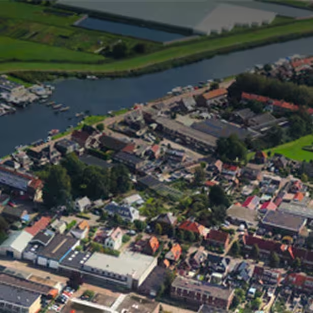
Public Infrastructure
Broadband underserved area analysis, zoning and parcel change detection.