Web-Ready Geospatial Data for Smarter Collaboration & Access
We deliver site intelligence and spatial outputs in formats that integrate with your digital tools – from WebGIS dashboards to BIM viewers and cloud-based documentation platforms.

What We Enable
Centralized access to site data for teams across locations
Remote walkthroughs and reviews for towers, stores, shelters, and substations
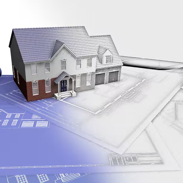
Integration of 3D models, GIS data, and drawings into your design or planning workflows
Always-available records to reduce field visits and communication gaps
Services & Capabilities

Digital Twins & Virtual Walkthroughs
View, annotate, and share 3D site models remotely with design, permitting, or construction teams.

WebGIS Dashboards
Interactive portals that allow field managers, planners, or executives to access spatial intelligence in real time.

Cloud-Based Delivery & Hosting
Flexible delivery formats via secure links or platform integration for easy access across functions.

Tool & Workflow Integration
We align deliverables to your tools: ArcGIS, Revit, AutoCAD, Procore, Bentley, and more.
Industries Served

Telecom & Fiber
Tower walkthroughs, site portfolio tracking, asset intelligence.
Retail & Real Estate
Store remodel access, remote site approvals, rollout management.

Utilities & Public Infra
Substation and corridor documentation, planning collaboration.