Precise, Scalable Data Acquisition for Physical Asset Intelligence
We capture the physical world using high-accuracy tools including drones, LiDAR, mobile mapping, and 360° imagery – enabling better planning, compliance, and decision-making across telecom, utilities, retail, and public infrastructure projects.

What We Capture
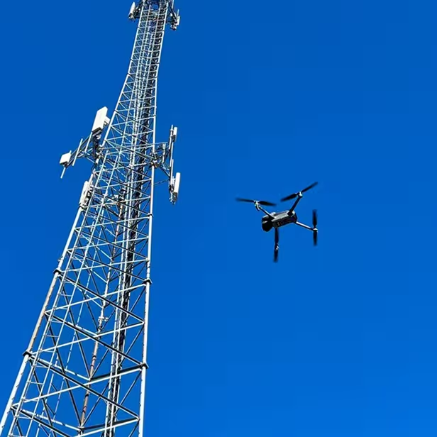
Towers, poles, shelters, and rooftop infrastructure
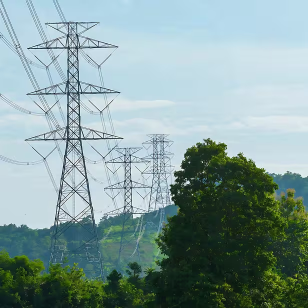
Fiber corridors and utility right-of-way
Retail and commercial site interiors/exteriors
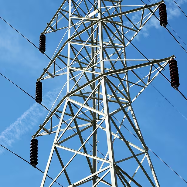
Substations, switching stations, and public buildings
Roadways, intersections, and transportation assets
Methods & Technology
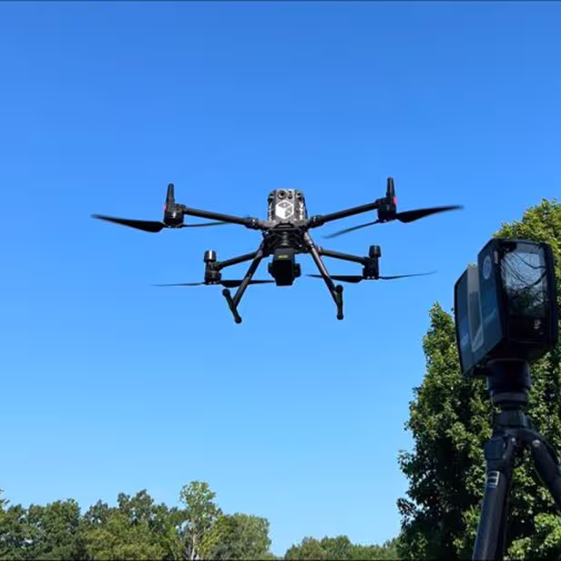
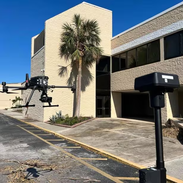
Drone Surveys
Orthophotos, elevation models, and inspection-grade imagery captured quickly and safely.

LiDAR Mapping
Aerial and mobile LiDAR for high-density point clouds, clearance analysis, and structural modeling.
360° Imagery & Mobile Mapping
Immersive data for tower audits, fiber planning, and remote site navigation.

On-Site Field Data Collection
Manual field mapping and photo documentation when needed to supplement aerial and mobile capture.
Industries Served
Telecom & Fiber
Tower audits, pole surveys, site inspections.
Utilities & Energy
Substation mapping, vegetation clearance.
Retail & Real Estate
As-built capture, remodel prep.

Public Infrastructure
Transport corridors, civic asset digitization.