Accurate Geospatial Data for Smarter Decisions
Geospatial data services including GIS mapping, LiDAR, photogrammetry, and satellite imagery to support infrastructure development, utilities, land management, and urban planning – enabling faster decisions, improved asset visibility, and better outcomes for public and private sector organizations.

Data Acquisition
Our intelligent data acquisition capabilities enable the delivery of topographic surveys, ortho-rectified 2D/3D satellite imagery, and accurate terrain models using high-resolution global data partnerships, mobile LiDAR systems (in collaboration with ViaTech), and a fleet of five advanced UAVs – ensuring precise, real-time Earth insights tailored to diverse project needs, from utility mapping to smart city development.

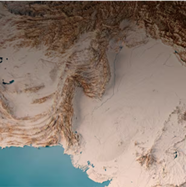
High-Resolution Satellite Imagery

LiDAR

Aerial / UAV
Navigation & HD Mapping Services
We provide HD maps with precise geometry and semantic data to enhance autonomous vehicle navigation, localization, and road asset mapping, backed by over 20 years of expertise in processing raw geospatial data into actionable insights for utilities, agriculture, transportation, and government projects – delivering highly accurate GIS solutions that improve utility network design, mapping, and reliability.

Data Processing & Management

Utilities Asset Mapping & Management
Photogrammetry
We deliver tailored photogrammetric solutions using aerial and satellite imagery to offer simplicity, precision, and globally competitive pricing – covering everything from image procurement, atmospheric corrections, and advanced classification to generating orthophotos, high-quality elevation models (DEM/DTM/DSM), and accurate 3D city models for smart city planning, urban development, and disaster management.
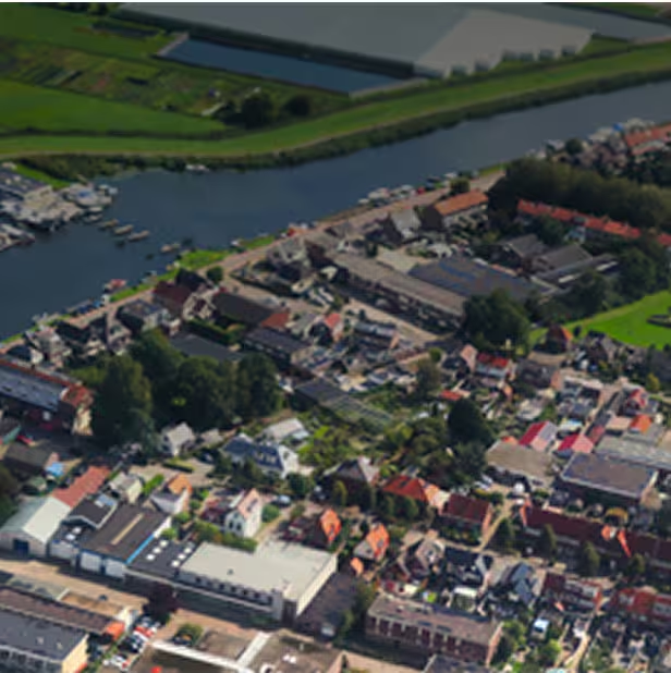
Image Interpretation & Classification
Ortho Images

Contours / DEM / DTM / DSM

3D City
Case Studies
Explore in-depth success stories, strategic solutions, and real-world impact through our featured projects.