Digital Tools for Mobility and Network Planning
LiDAR, GIS, digital mapping, asset management, and project supervision to help agencies and operators plan, build, and manage transportation infrastructure with improved efficiency, visibility, and long-term performance.


Asset Monitoring & Management System
Identifying asset locations is crucial, but attribution adds value. We leverage mobile LiDAR and geospatial tech for accurate asset data, optimizing lifecycles, infrastructure planning, and budgeting. Our solutions unify asset management, enhancing workflows, security, and strategic decision-making for smarter infrastructure expansion.
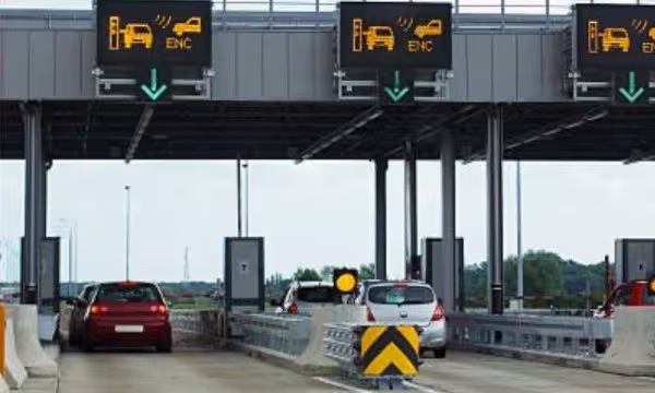
Digital Navigation
We deliver customized digital navigation solutions using high-end LiDAR, aerial, and satellite imagery to create HD maps that enhance safety and driving experience. Our maps align with Navigation Data and ADAS standards, supporting secure, seamless navigation and enabling advanced mobility.
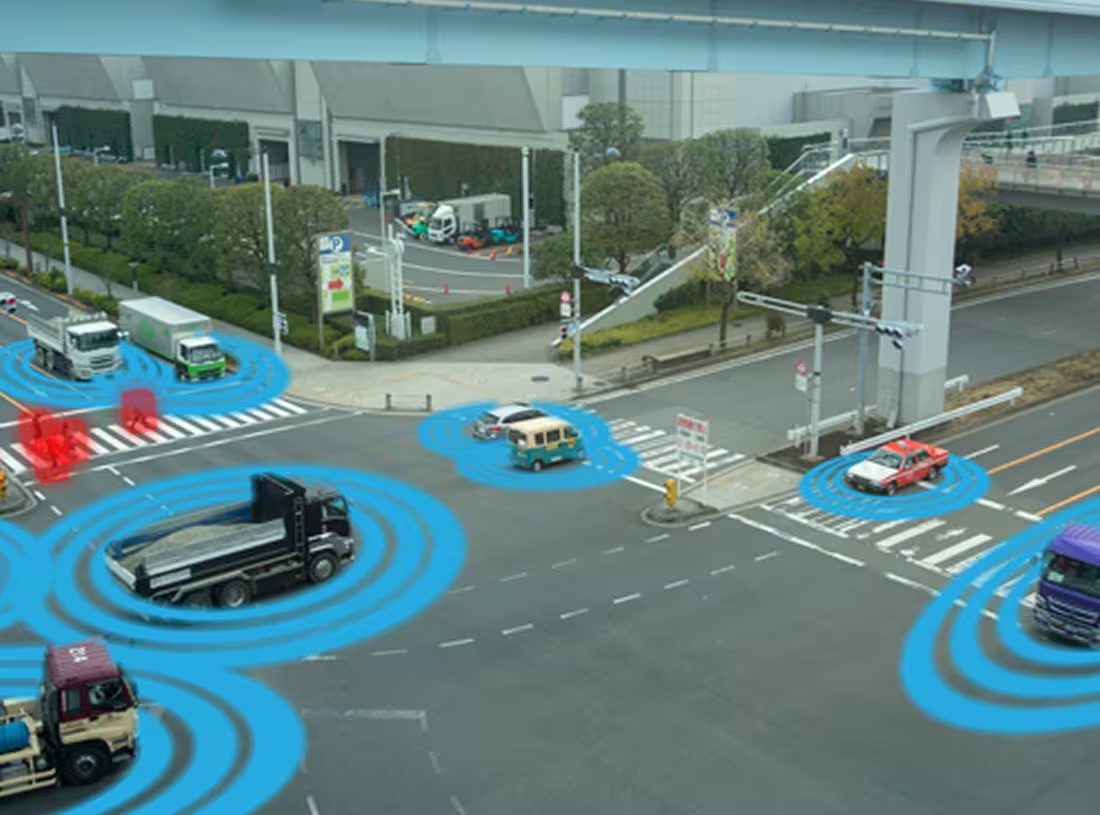
GIS & Engineering
We address challenges in transportation with GIS and engineering solutions that support the full project lifecycle, reduce rework, and ensure timely, cost-effective delivery. By integrating spatial intelligence, we enable real-time, cross-device data access, eliminate silos, and drive informed decision-making for improved operational efficiency and resource management.
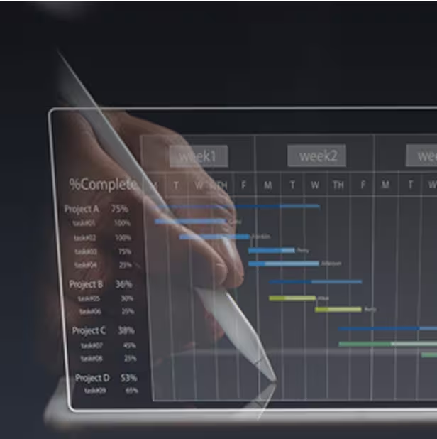
Digital Project Management Systems
Our Digital Project Management System (DPMS) integrates 3D to 5D data for complete project oversight. From design consultancy to technical due diligence, we offer 4D and 5D solutions for infrastructure monitoring, ensuring transparency, cost-time analysis, and centralized collaboration through a Common Data Environment with Owner Support Office integration.

3D / 4D / 5D Modeling
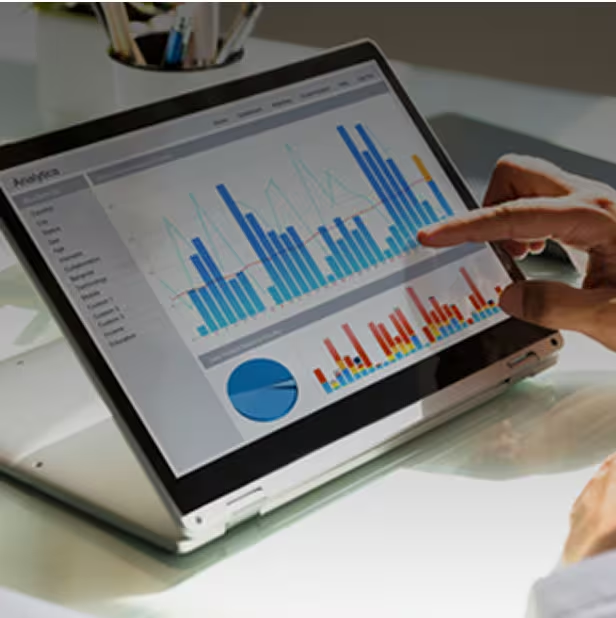
Analytical Dashboard

Enterprise Resource Management

Enterprise Asset Management
Project Management Information System

Project Management Consulting (PMC)

Detailed Project Report (DPR)

Road Safety Audits
Corridor Mapping Using LiDAR and Similar Technologies
3D / 4D / 5D Modeling
Analytical Dashboard
Enterprise Resource Management
Enterprise Asset Management
Project Management Information System
Project Management Consulting (PMC)
Detailed Project Report (DPR)
Road Safety Audits
Corridor Mapping Using LiDAR and Similar Technologies
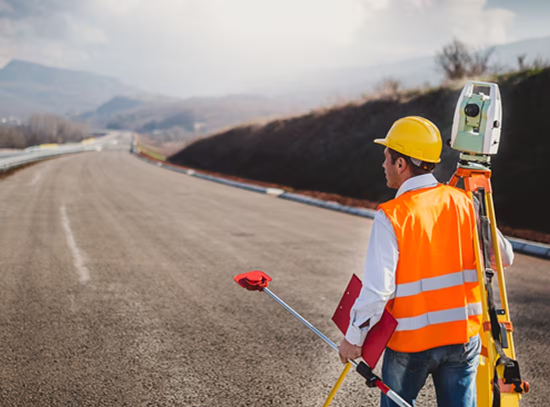
Project Supervision & Audit
We bring years of expertise in geospatial surveys and project consultancy, serving as a reliable partner for infrastructure evaluation. Our experienced team ensures accurate audits and quality reviews, helping clients achieve timely service delivery and maintain high standards throughout the project lifecycle.


Asset Monetization
Using geospatial technologies, mobile LiDAR, surveys, and data analytics, we deliver 360° asset evaluations to identify opportunities, define strategies, and set benchmarks—helping clients maximize returns from both tangible and intangible assets.
Infrastructure Modeling
We leverage GIS to support the full transportation infrastructure lifecycle, enabling real-time asset visualization and informed decision-making. Our advanced modeling solutions ensure project transparency for all stakeholders and integrate with various technologies, enhancing system performance, project coordination, and workforce productivity throughout construction, upgrades, or repairs.

Corridor Planning & Mapping
Scan to BIM & 3D Modeling
As-Built Mapping
Case Studies
Explore in-depth success stories, strategic solutions, and real-world impact through our featured projects.