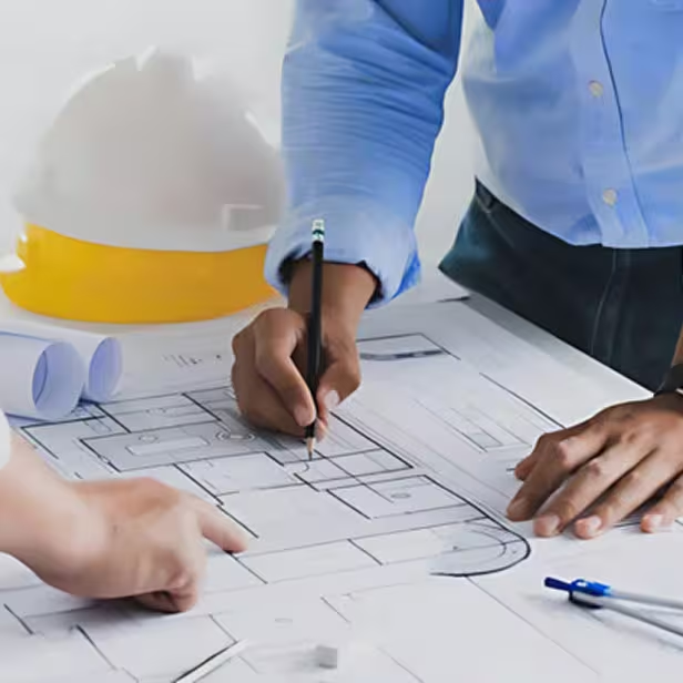
BIM and Geospatial for Smarter Infrastructure
Enabling the AEC industry to transform infrastructure planning, construction, and facility management by integrating BIM, GIS, digital twins, and simulation tools. Our unified, streamlined approach improves design accuracy, construction management, inspection, cost control, and scheduling – optimizing asset lifecycle performance for both public and private sector projects.
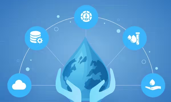
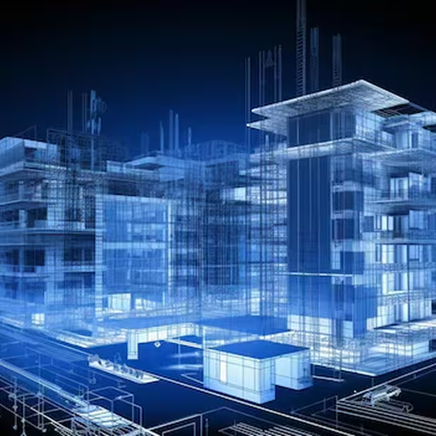
Driving Resilient Infrastructure with Geospatial Intelligence
We empower infrastructure planning and execution with deep geospatial insights and digital engineering capabilities, enabling smarter, more resilient built environments.
Our capabilities include
2D/3D Mapping & Modeling
Using LiDAR and high-resolution satellite imagery to generate precise spatial data and build detailed BIM/GIS-integrated 3D models.
Advanced Feature Extraction
Extracting terrain, utility, and building features to support clash detection, as-built modeling, and spatial analysis.
Simulation & Digital Twins
Supporting infrastructure lifecycle planning through simulation-based insights and digital twin frameworks.
Design Optimization
Reducing design errors and enhancing coordination through GIS-assisted planning, machine learning, and cloud-based tools.
Infrastructure Management
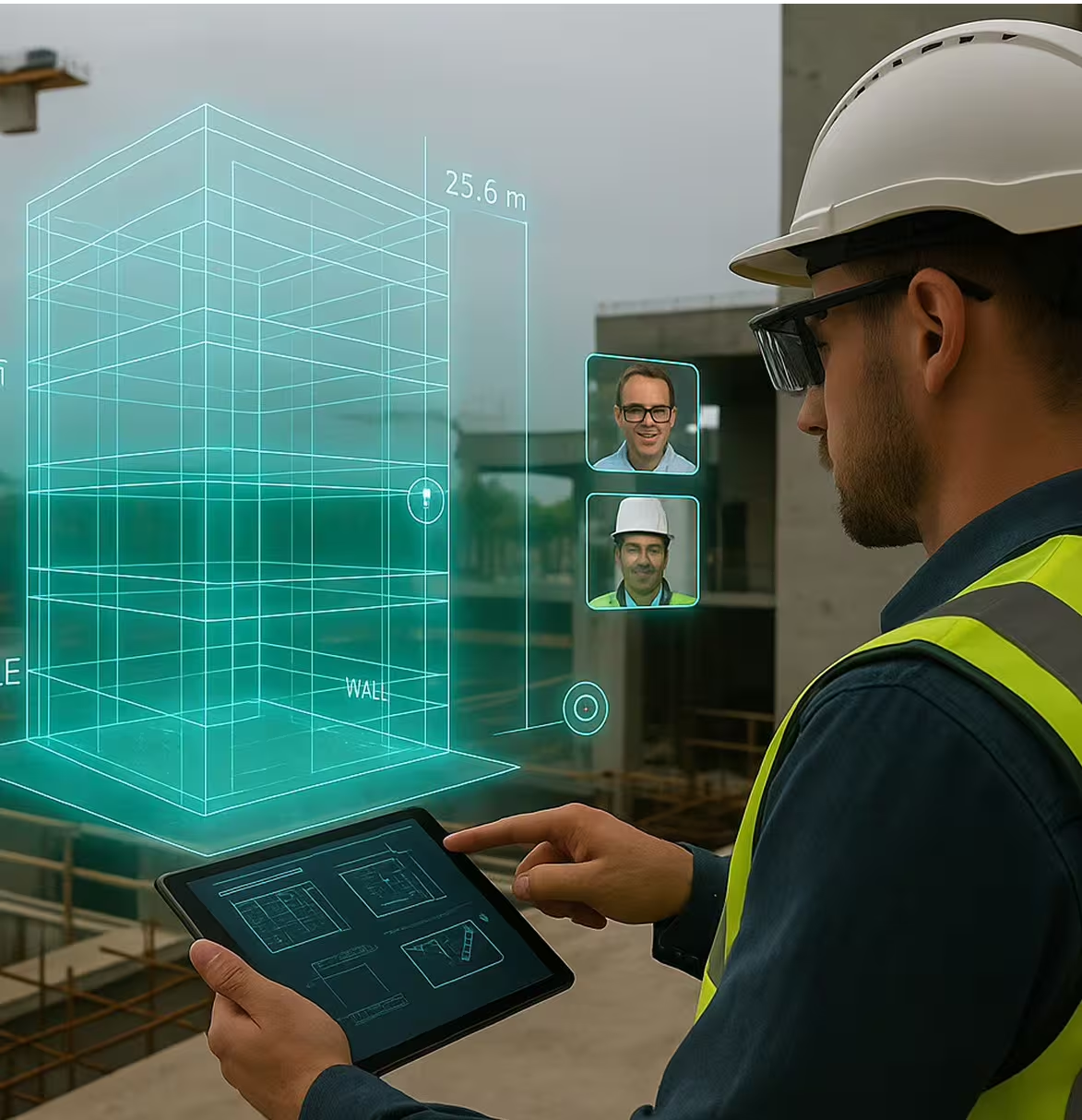
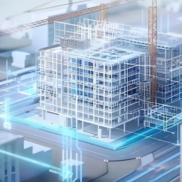
We integrate GIS, BIM, IoT, and smart data systems to accelerate AEC project execution – offering digital twin simulations, incident analysis, and real-time command control centers that break data silos, enhance situational awareness, optimize workflows, and support informed decision-making from planning through construction.
Digital Twin

IoT & System Data Integration
Incident Analysis
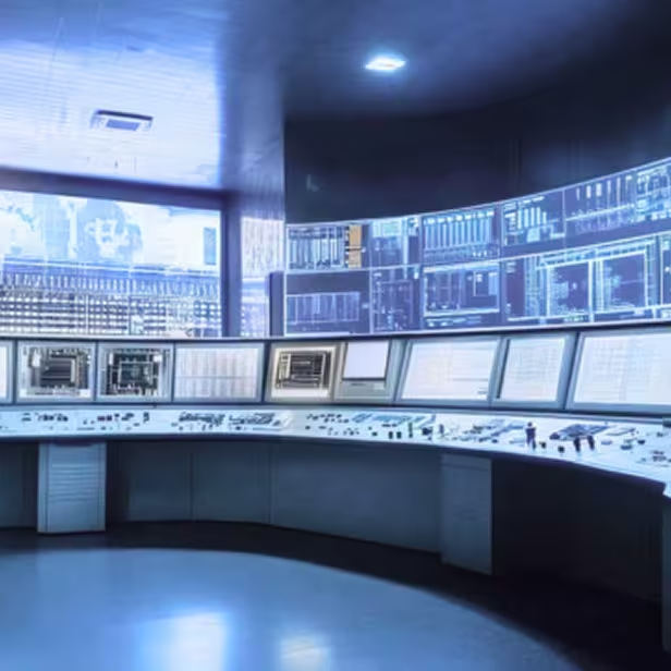
Command Control Center
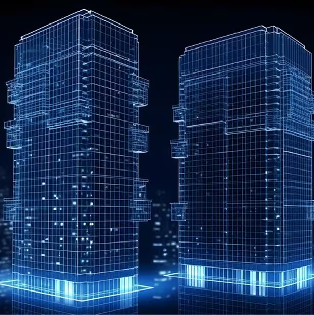
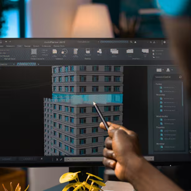
Infrastructure Modeling
We empower infrastructure planning with geospatial insights, machine learning, IoT, and cloud solutions – leveraging LiDAR and satellite imagery for accurate 2D/3D mapping, GIS-integrated models, clash detection, as-built modeling, and feature extraction to enhance design accuracy, reduce errors, and digitally transform the construction lifecycle for smarter, resilient cities.

Laser Imagery Data Acquisition
GIS Integrated 3D Model

Clash Detection & Constructability Analysis
As-Built Modeling
Data Processing & Feature Extraction
Detailed Engineering & Design Consultancy
Laser Imagery Data Acquisition
GIS Integrated 3D Model
Clash Detection & Constructability Analysis
As-Built Modeling
Data Processing & Feature Extraction
Detailed Engineering & Design Consultancy
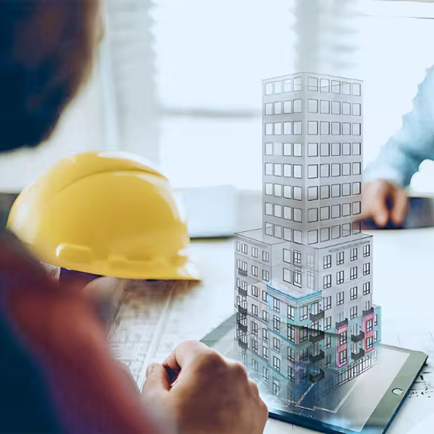
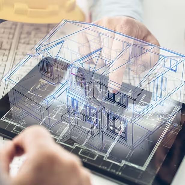
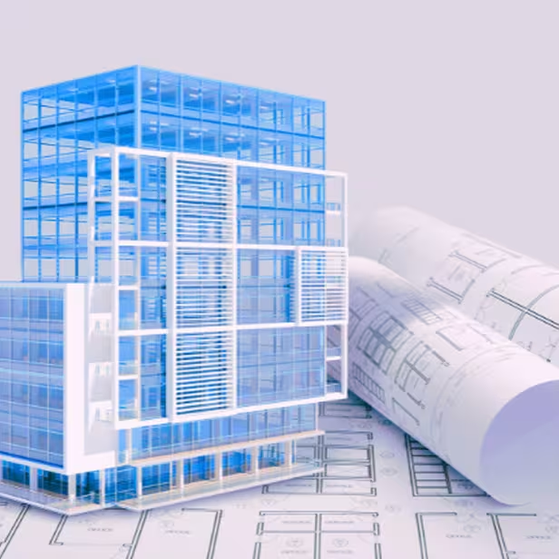
BIM
Our GIS-integrated 5D BIM solutions combine scan-to-BIM, as-built modeling, 3D visualization, and 4D/5D simulation to enhance planning, detect clashes, and optimize construction workflows – while cloud-based data management and asset documentation with IoT integration enable seamless collaboration, efficient maintenance, and sustainable, future-ready project delivery.
Scan to BIM
As-Built & To-be
3D Model Creation
Simulation & Visualization

Asset Documentation & Maintenance
Scan to BIM
As-Built & To-be
3D Model Creation
Simulation & Visualization
Asset Documentation & Maintenance
Case Studies
Explore in-depth success stories, strategic solutions, and real-world impact through our featured projects.