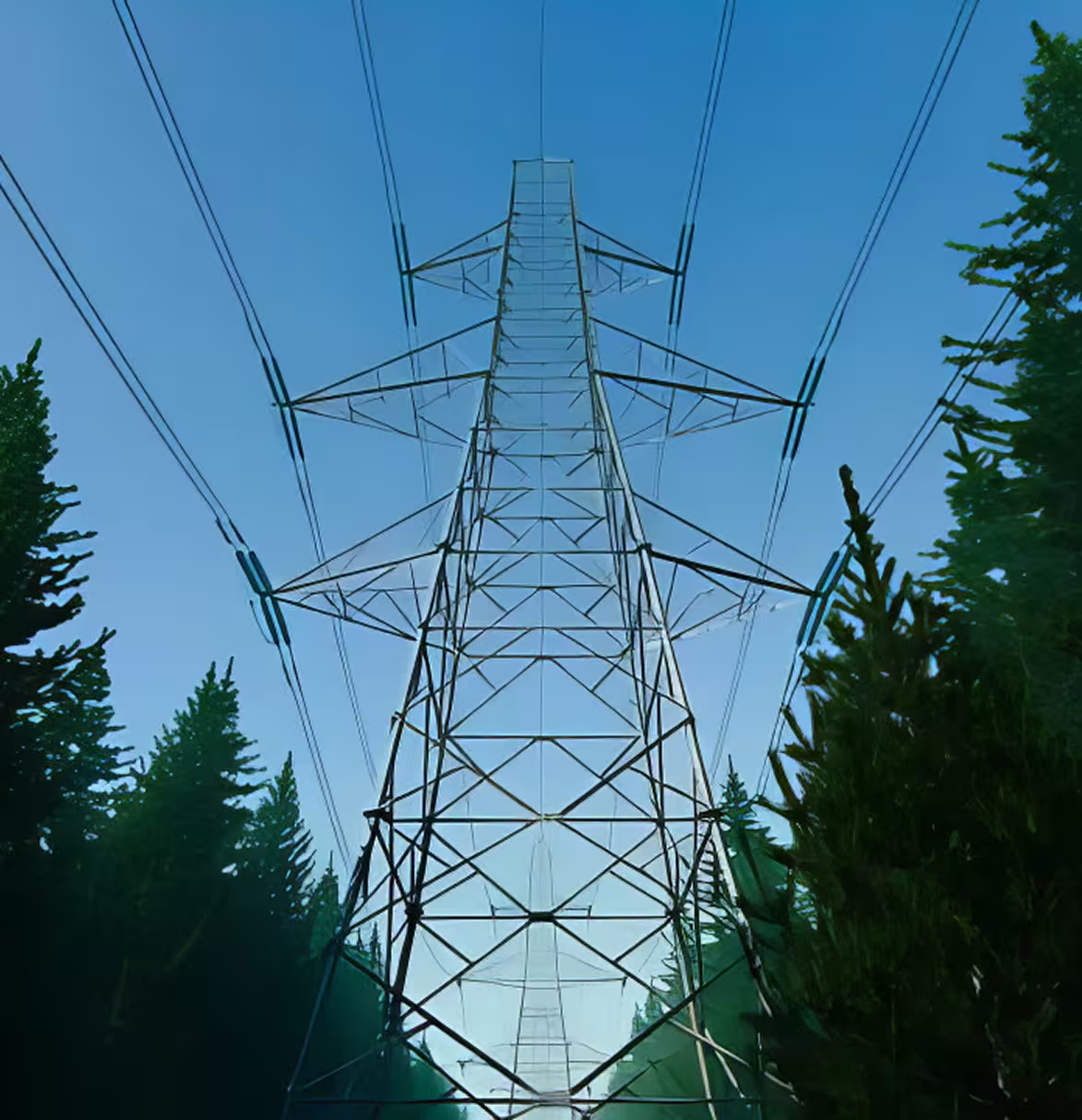
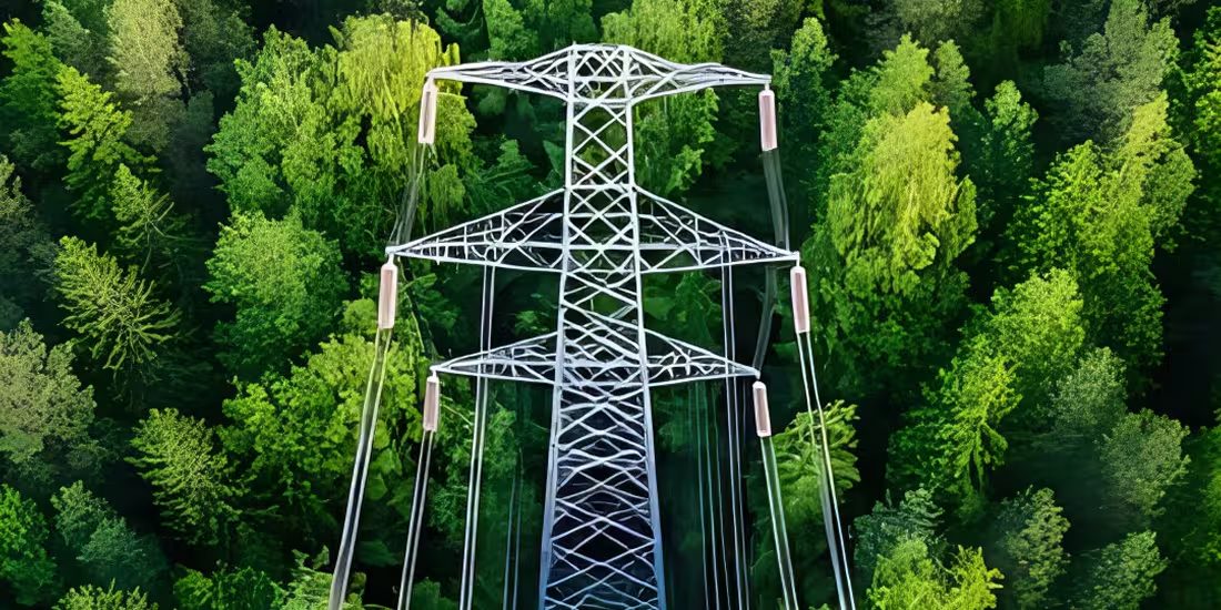
Smarter, Safer Vegetation Risk Management
Geospatial Solutions for Utility-Scale Vegetation Control
Helping utilities monitor, map, and manage vegetation with LiDAR, GIS, 3D modeling, and risk analytics – reducing outages, improving safety, and optimizing clearance operations across power corridors and field assets.
Smart Vegetation Management Solutions
Our solutions integrate AI, ML, and geospatial tech to optimize vegetation management, enhance asset protection, improve reliability, and reduce maintenance costs—available on-cloud and on-premise.
Identifying encroachments & threat levels
Cost-effective vegetation management plans
Prioritizing clearance based on risk
Advanced risk mapping & measurement
Multi-source data acquisition
AI & ML-powered 3D mapping
Sag, sway & defect analysis
LiDAR mapping for vegetation control
Targeted tree trimming & maintenance
Case Studies
Explore in-depth success stories, strategic solutions, and real-world impact through our featured projects.