Integrated Modeling and Reality Capture Services
3D modeling, digital twins, BIM integration, and immersive visualization to support design, validation, planning, and asset management across infrastructure and construction projects, ensuring accuracy, collaboration, and faster decision-making throughout the project lifecycle.
Context Reality & Modeling
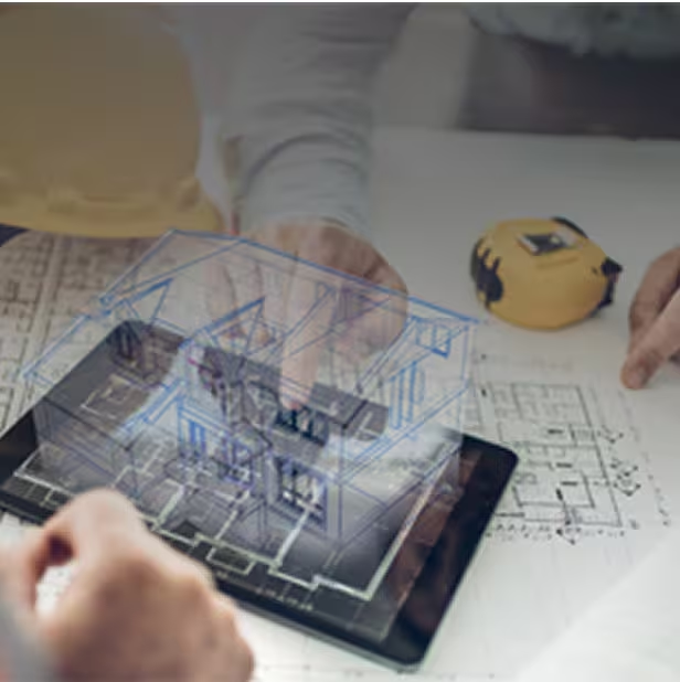
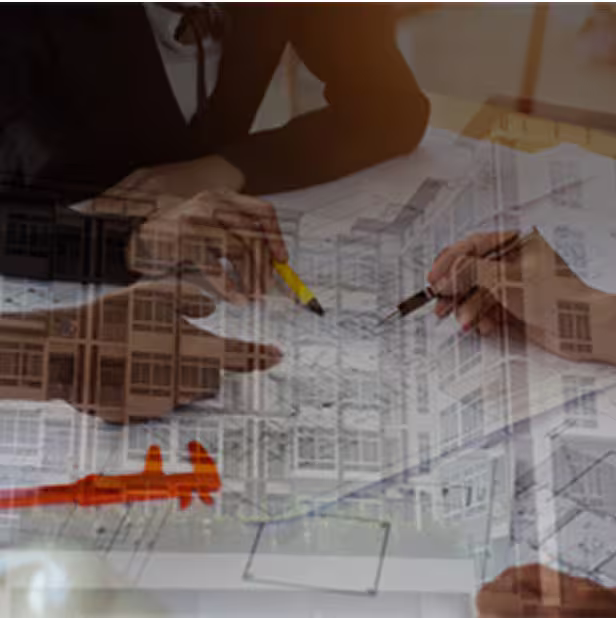
We deliver advanced context reality and modeling services – integrating digital twins, 3D/4D/5D/6D BIM, scan-to-BIM, and extended reality to enhance asset monitoring, forecasting, and collaboration – offering immersive visualizations, panoramic views, and precise as-built models that support smart design, spatial analysis, and efficient construction planning with photorealistic accuracy.
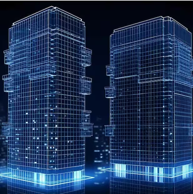
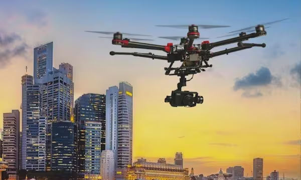
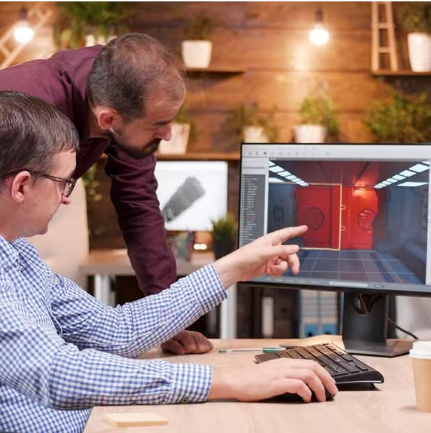
Digital Twin
Scan-to-BIM
4D / 5D BIM
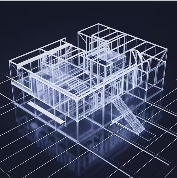
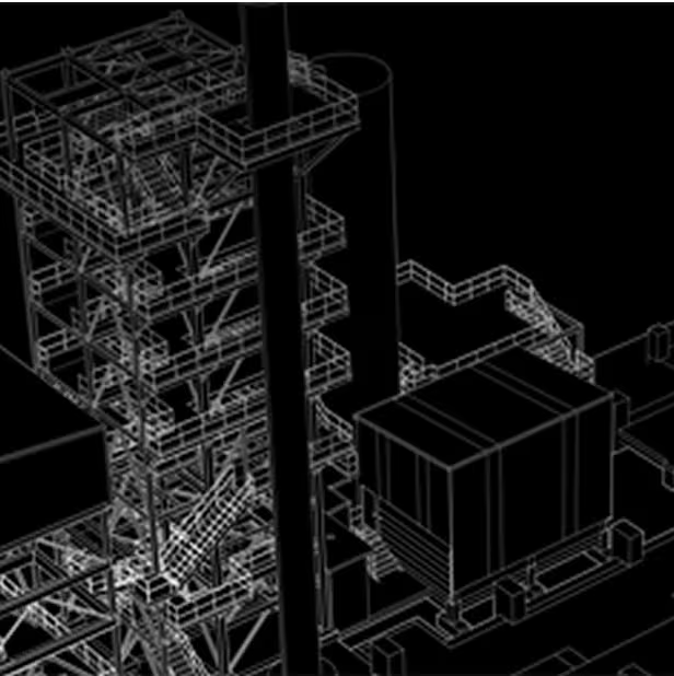
3D Modeling
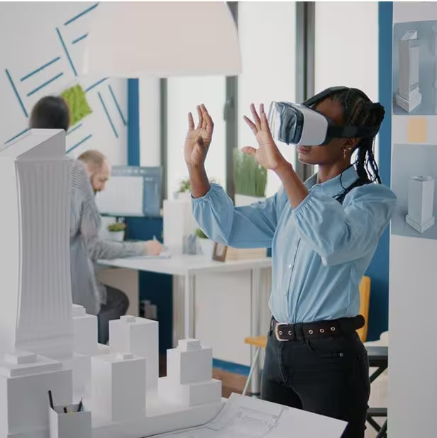
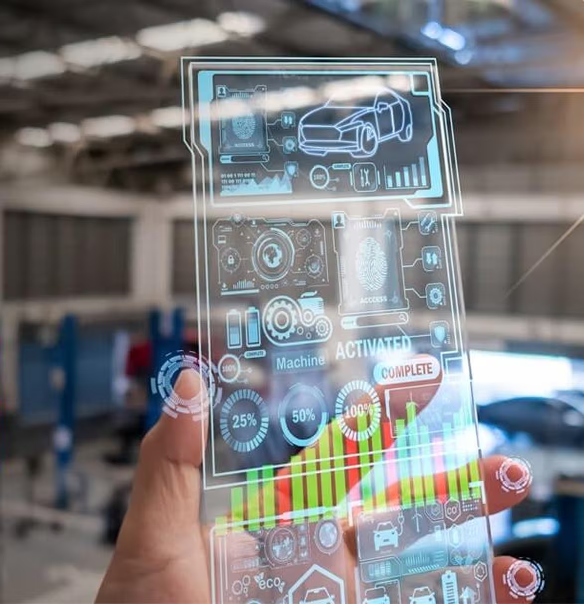
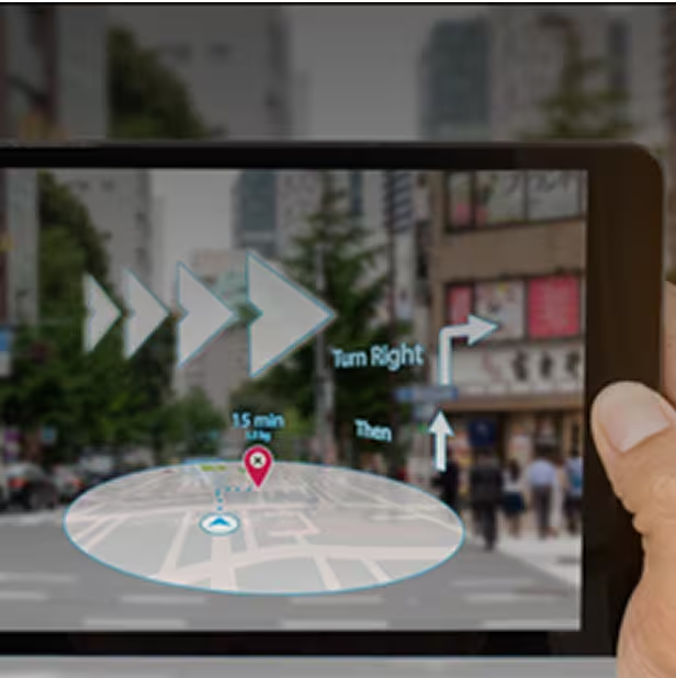
Mixed & Augmented Reality
Animation/Walkthroughs
As-Built/Digital Reconstruction
Panoramic Views
Digital Twin
Scan-to-BIM
4D / 5D BIM
3D Modeling
Mixed & Augmented Reality
Animation/Walkthroughs
As-Built/Digital Reconstruction
Panoramic Views
Case Studies
Explore in-depth success stories, strategic solutions, and real-world impact through our featured projects.