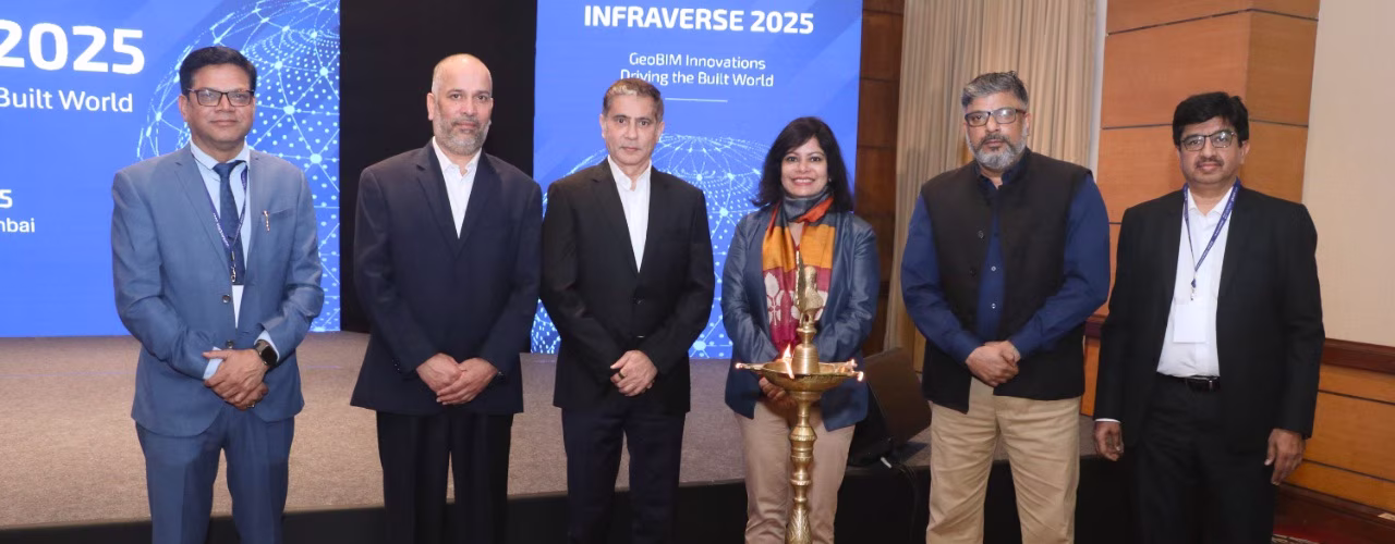
Esri India and Autodesk Highlight BIM-GIS Integration at INFRAVERSE 2025
Mumbai, India – 21st November 2025
Esri India and Autodesk came together at INFRAVERSE 2025, hosted by CS TECH Ai, to highlight how integrated BIM–GIS workflows can strengthen infrastructure planning, execution, and long-term asset management across India’s public and urban development programs.
The collaboration brings together Esri India’s geospatial analytics capabilities with Autodesk’s Building Information Modeling (BIM) and design platforms, enabling infrastructure stakeholders to work with unified, geo-enabled digital systems. By integrating GIS and BIM, project teams can improve coordination, decision-making, and lifecycle performance across water, urban, utility, and transportation networks.
At INFRAVERSE 2025, technical sessions demonstrated how GeoBIM integration supports the full infrastructure lifecycle, from planning and design to construction, operations, and maintenance. The discussions emphasized that unified digital environments enable greater transparency, predictability, and accountability, particularly for large-scale public infrastructure initiatives.
Industry leaders highlighted the growing importance of coordinated digital systems in delivering complex infrastructure projects. The conversations underscored how aligning engineering models with geospatial data helps move organizations from siloed execution to data-driven, system-level governance.
Speaking on the role of execution and applied domain expertise, Prashant Kamat, Chief Executive Officer & Vice Chairman, CS TECH Ai, said that “Digital technologies must be supported by deep operational understanding to deliver measurable outcomes.” He noted “That the effective integration of BIM, GIS, and AI requires not only platforms, but also on-ground experience, engineering depth, and program management capability to translate digital intelligence into real-world impact”.
The event also reflected perspectives from public-sector leadership on the increasing role of digital governance in managing large infrastructure portfolios. Participants discussed how integrated digital systems are becoming essential to maintaining scale, compliance, and long-term performance in public works.
INFRAVERSE 2025 concluded with a shared view that BIM–GIS integration will form a foundational layer for India’s infrastructure transformation. Ecosystem partnerships involving technology leaders such as Autodesk and Esri India, supported by execution-focused organizations like CS TECH Ai, are expected to play a critical role in advancing governed, resilient, and future-ready infrastructure systems across the country.